Skip to main content
Home
Images
Décor & Design
Earth Science
Nature
Abstracts & Patterns
Air, Land & Water
Animals
Flowers & Plants
People & Places International
Bhutan
Canada
Central America
Costa Rica
China & Tibet
Iceland
Mexico
Bacanora
Chihuahua
Jalisco & Michoacan
Oaxaca
Sea of Cortez & Baja
Sonora
Morocco
New Zealand
Nepal
Mustang Nepal
Northern Europe
Great Britain
Ireland
Norway & Germany
South America
Argentina
Chile
Peru
Southern Europe
France
Greece
Italy
Portugal & Spain
Turkey
People & Places U.S.A.
Alaska
Arizona
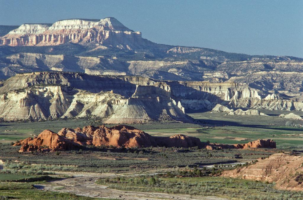
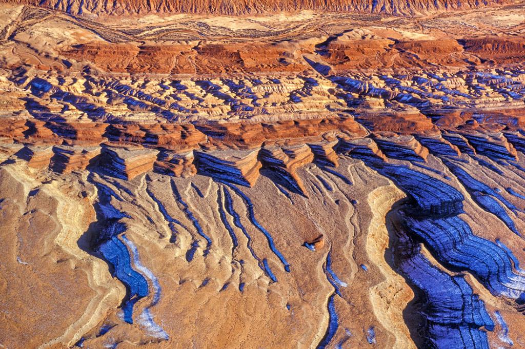
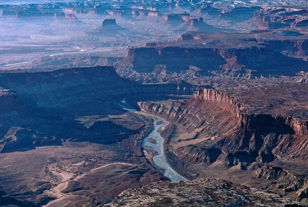
Colorado Plateau
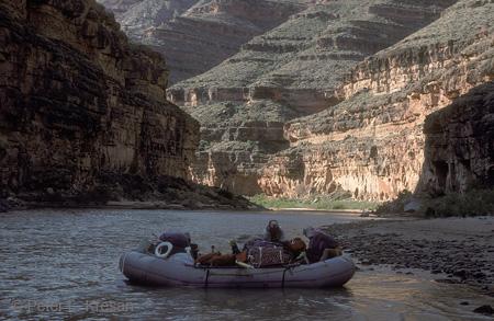
Grand Canyon & Colorado River
Mogollon Rim
Southern Arizona
California
Colorado
Hawaii
Idaho Montana Wyoming
New England
New Mexico
Northwestern U.S.A.
Southern U.S.A.
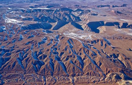
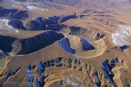
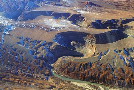
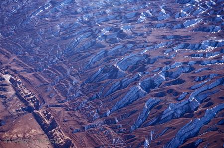
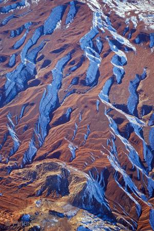
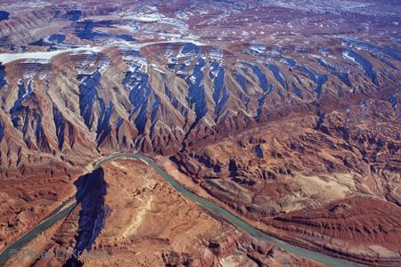
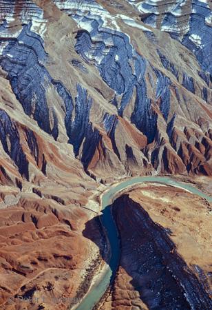
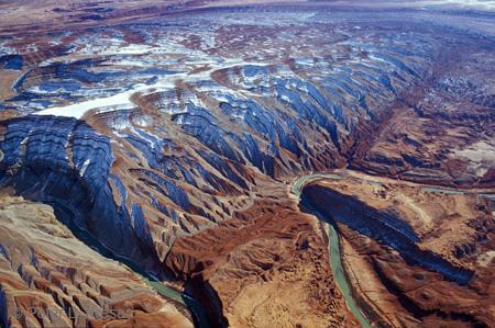
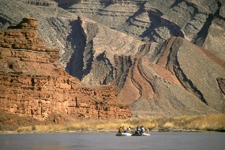
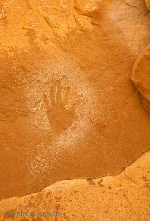
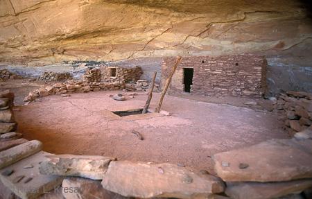
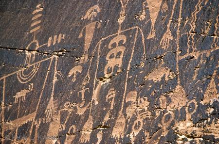
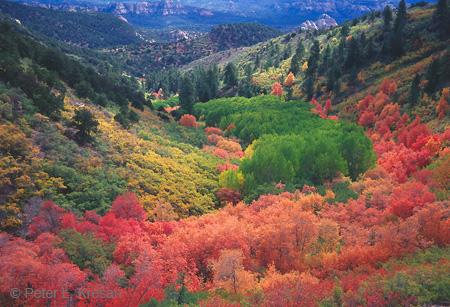
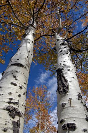
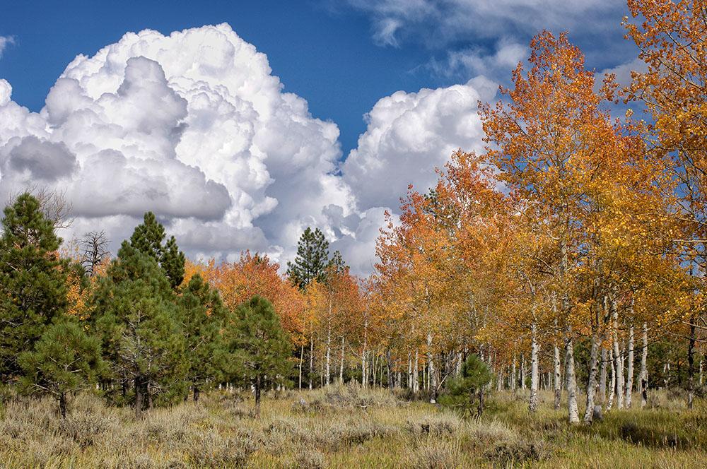
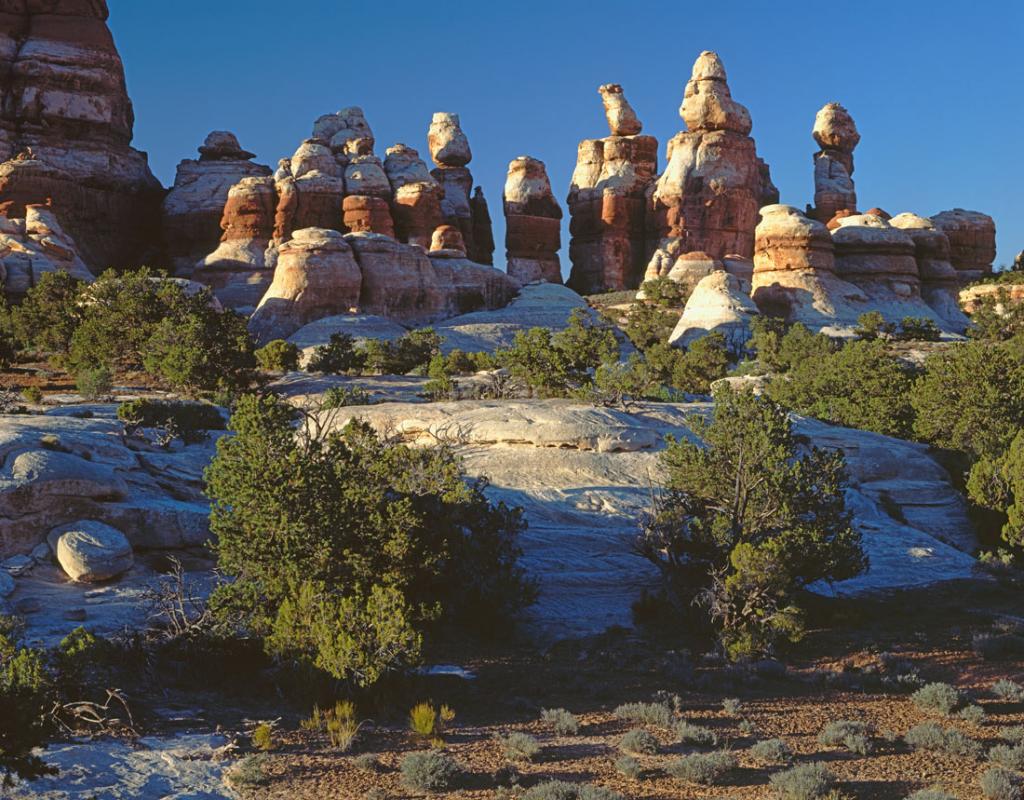
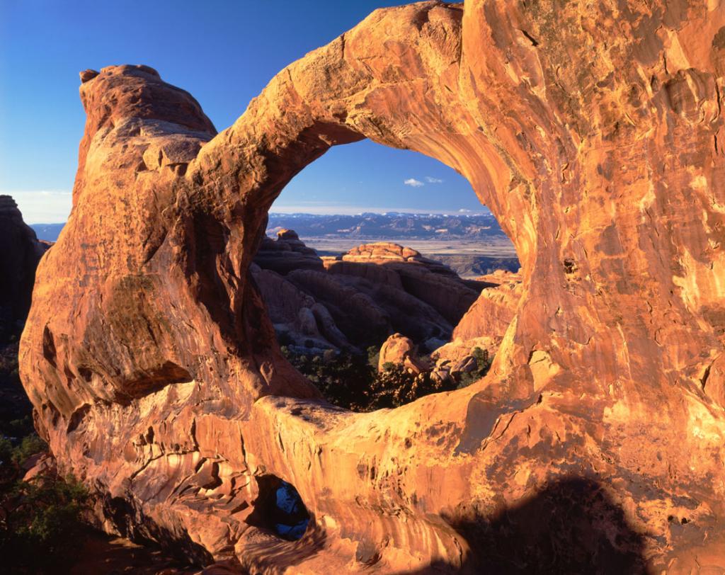
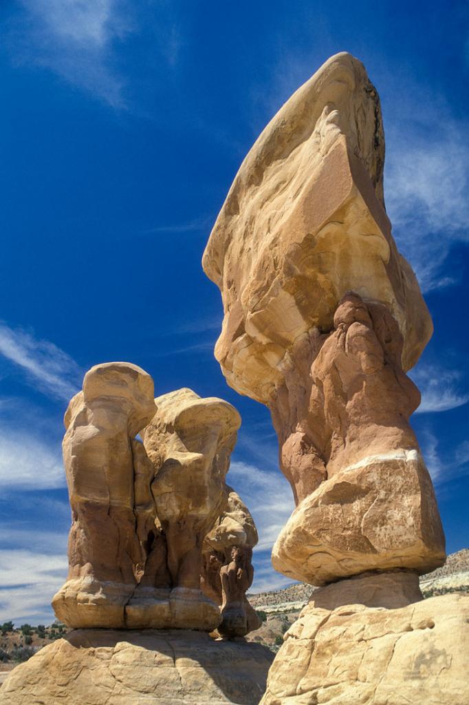
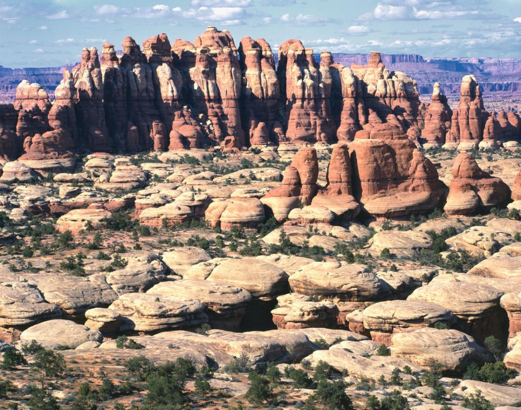
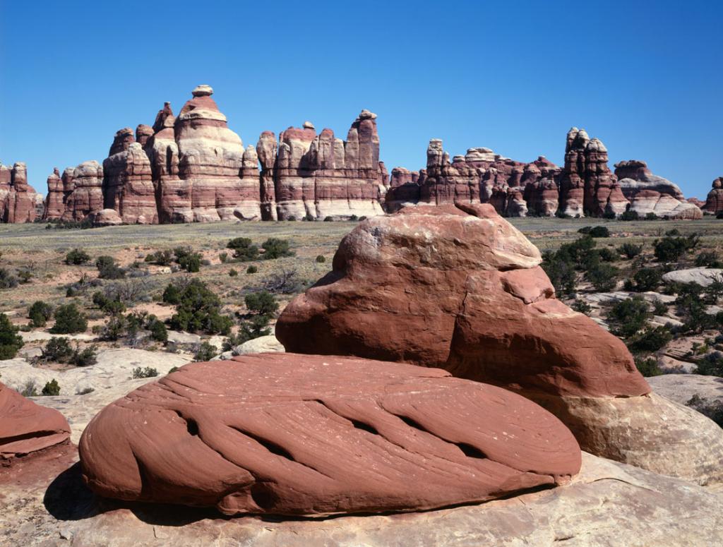
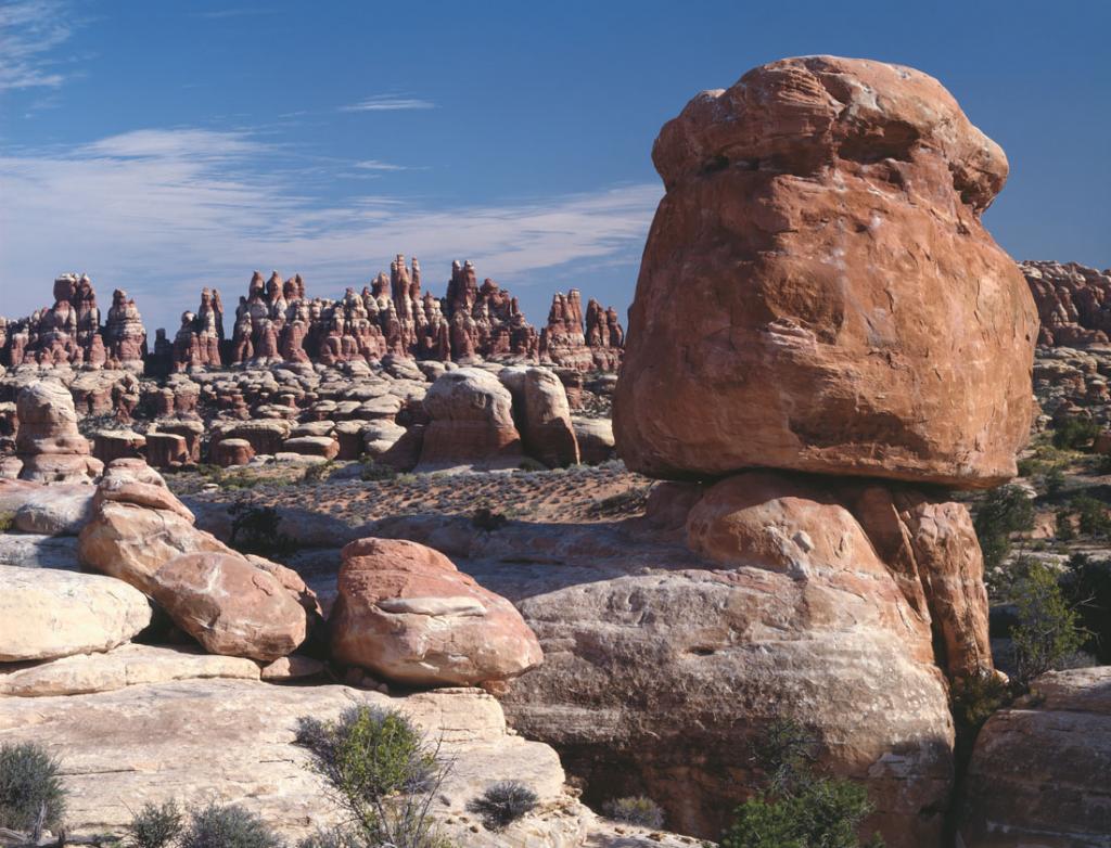
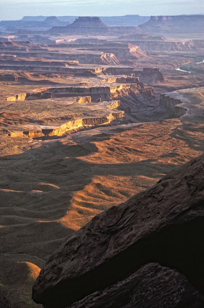
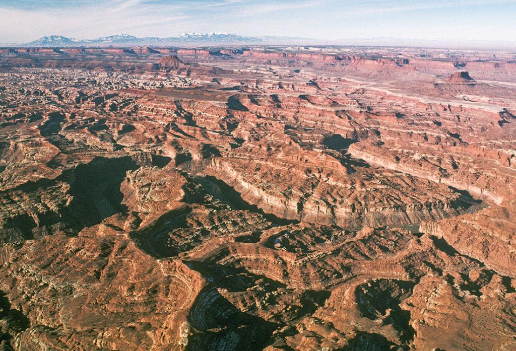
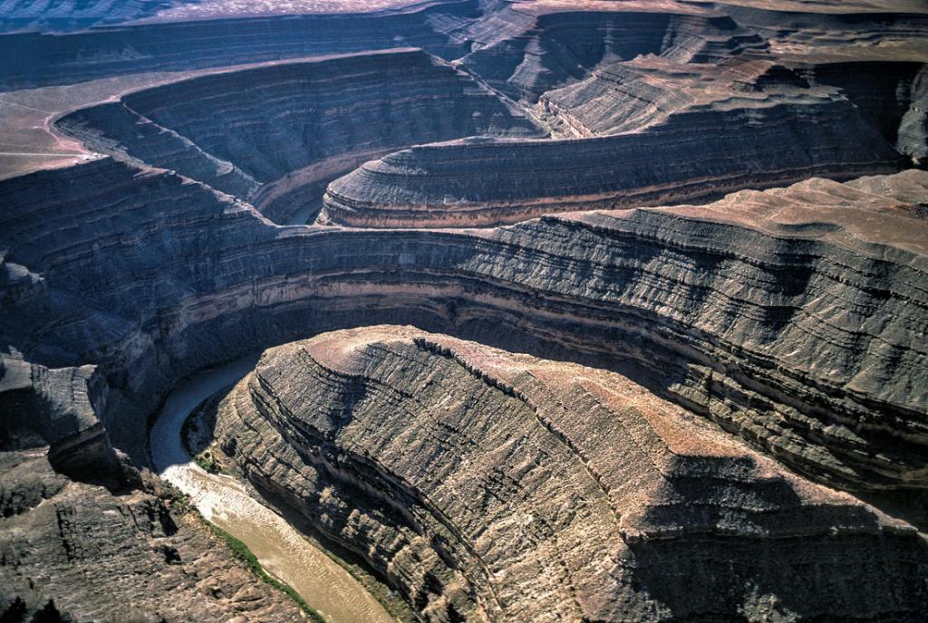
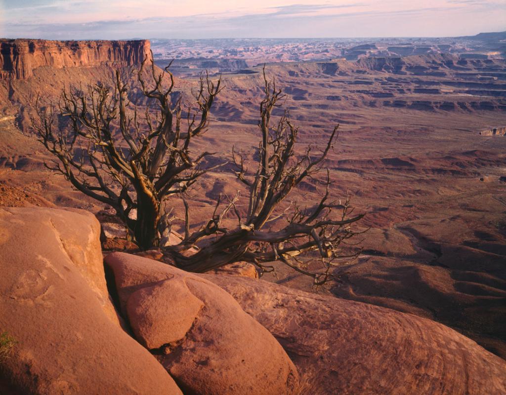
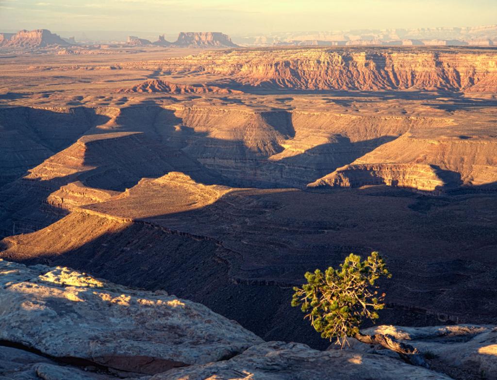
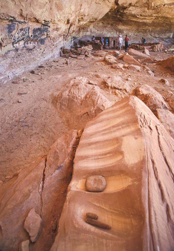
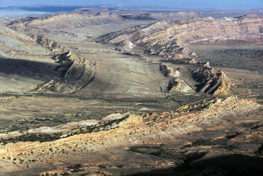
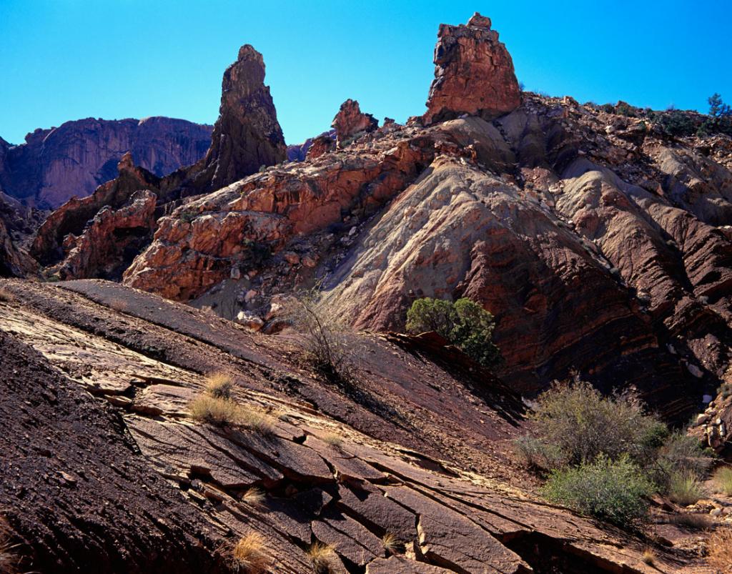
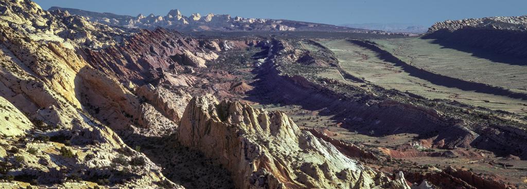
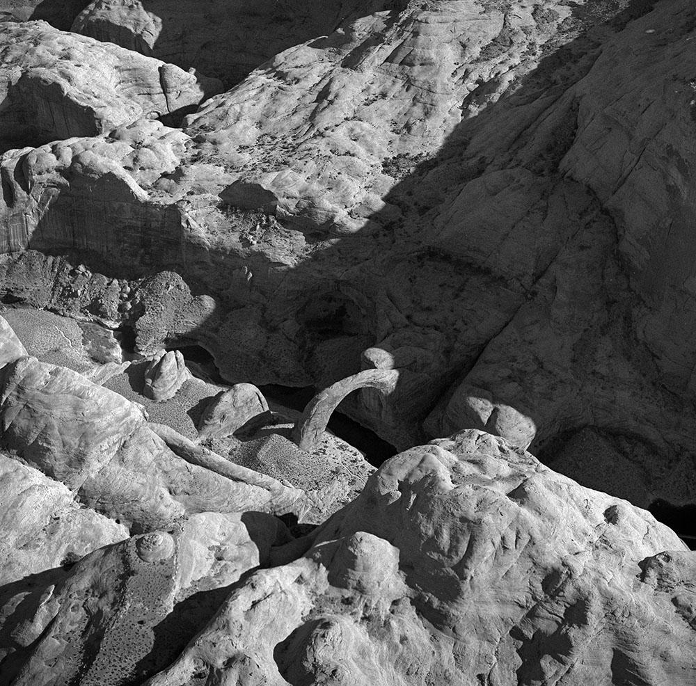
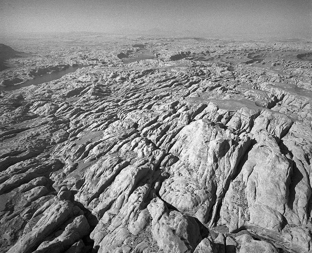
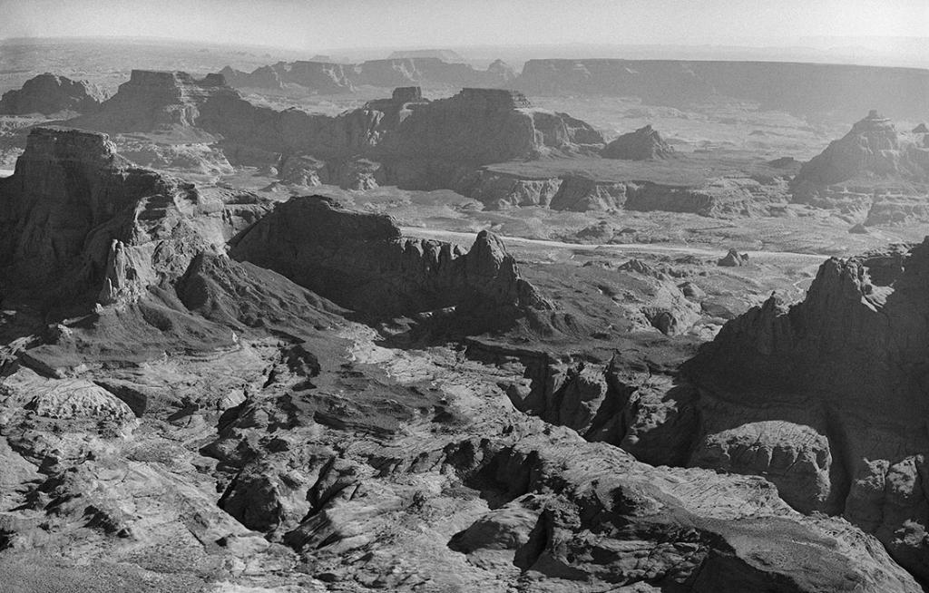
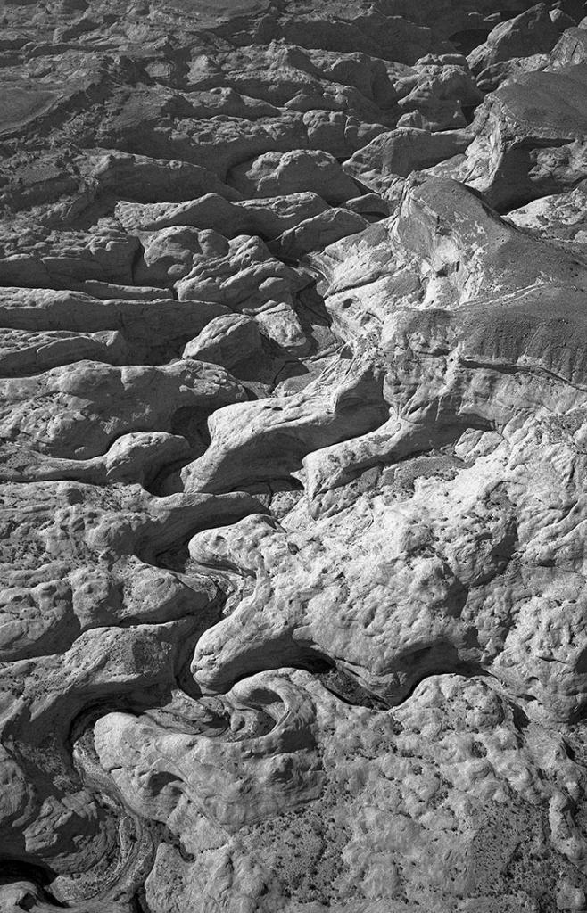
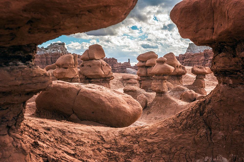
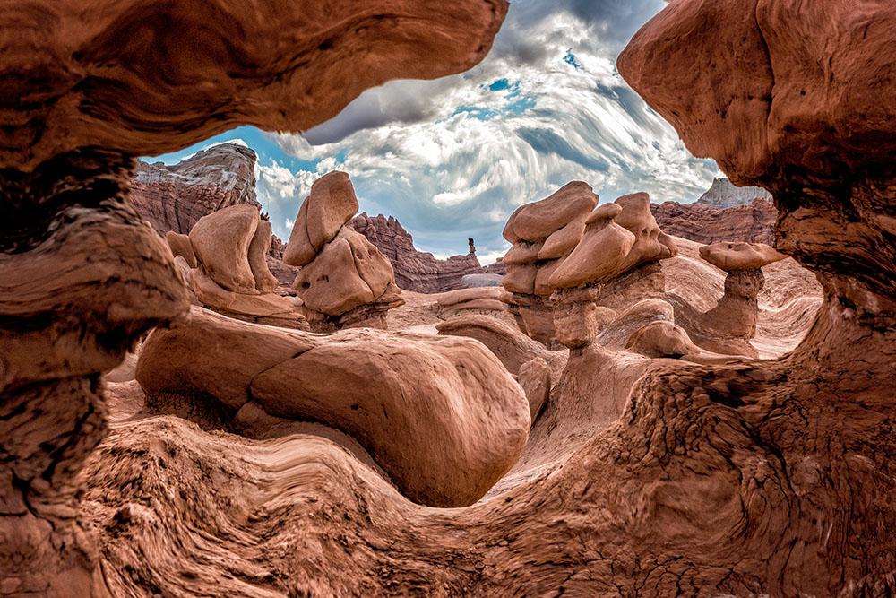
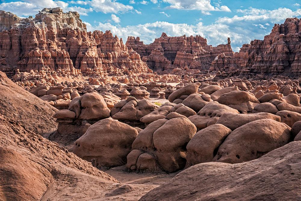
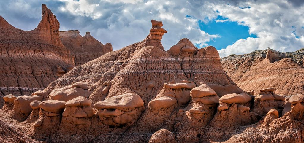
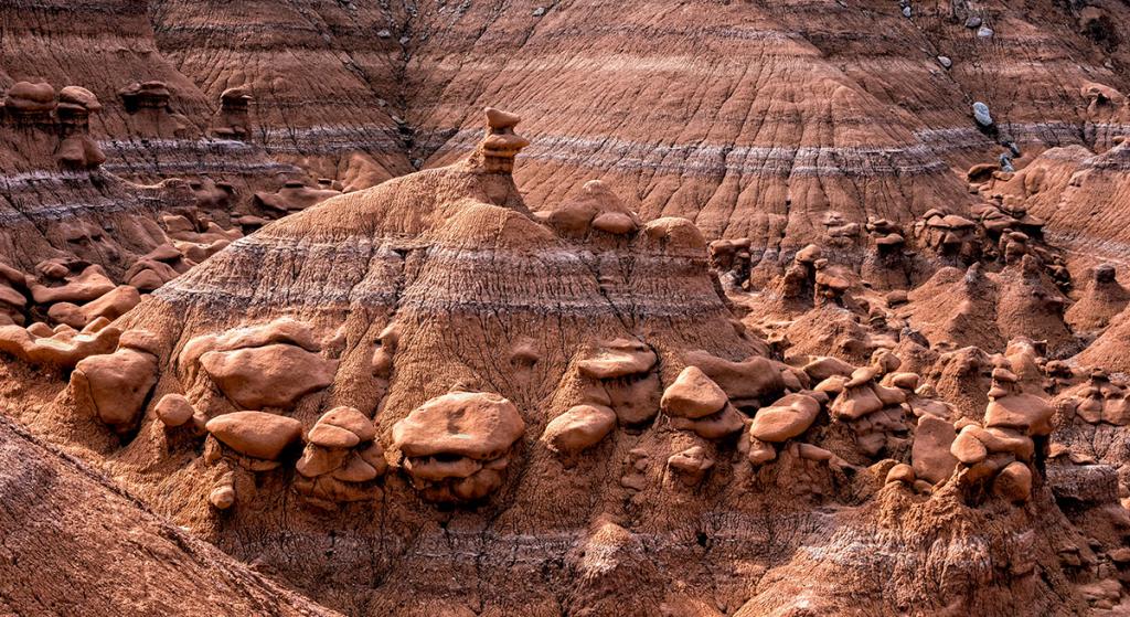
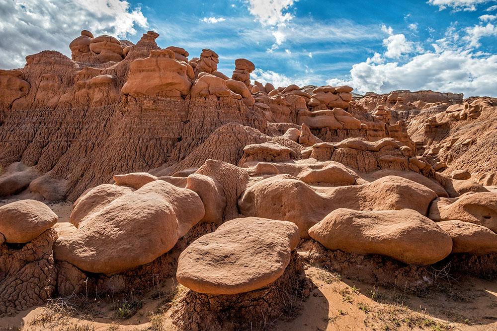
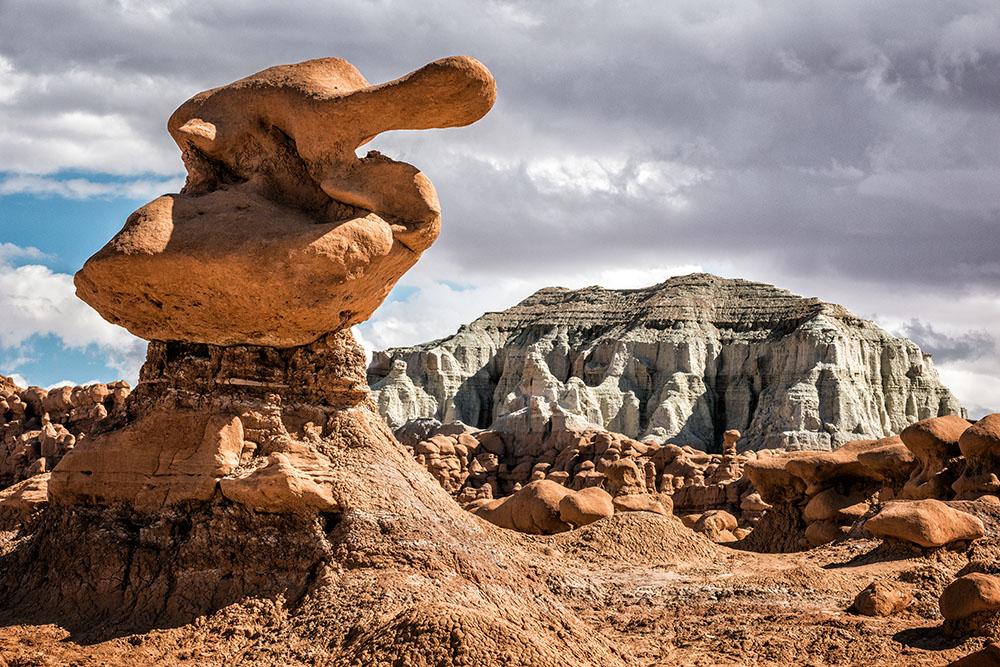
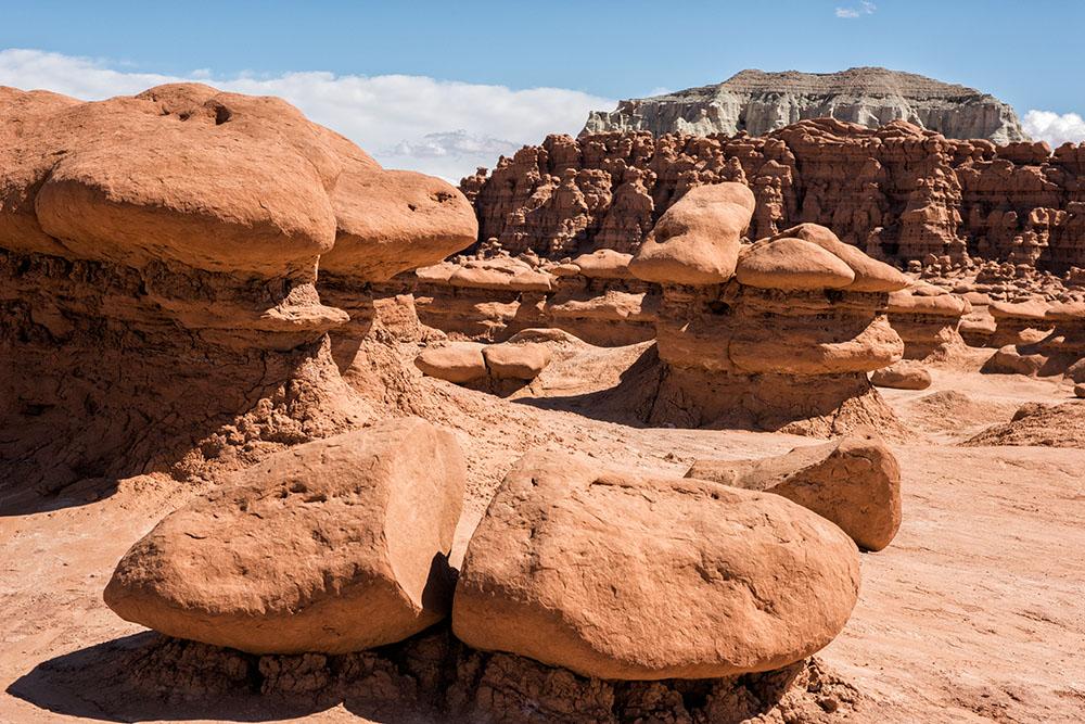
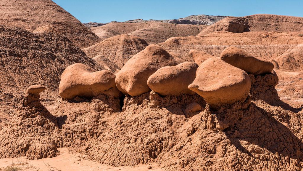
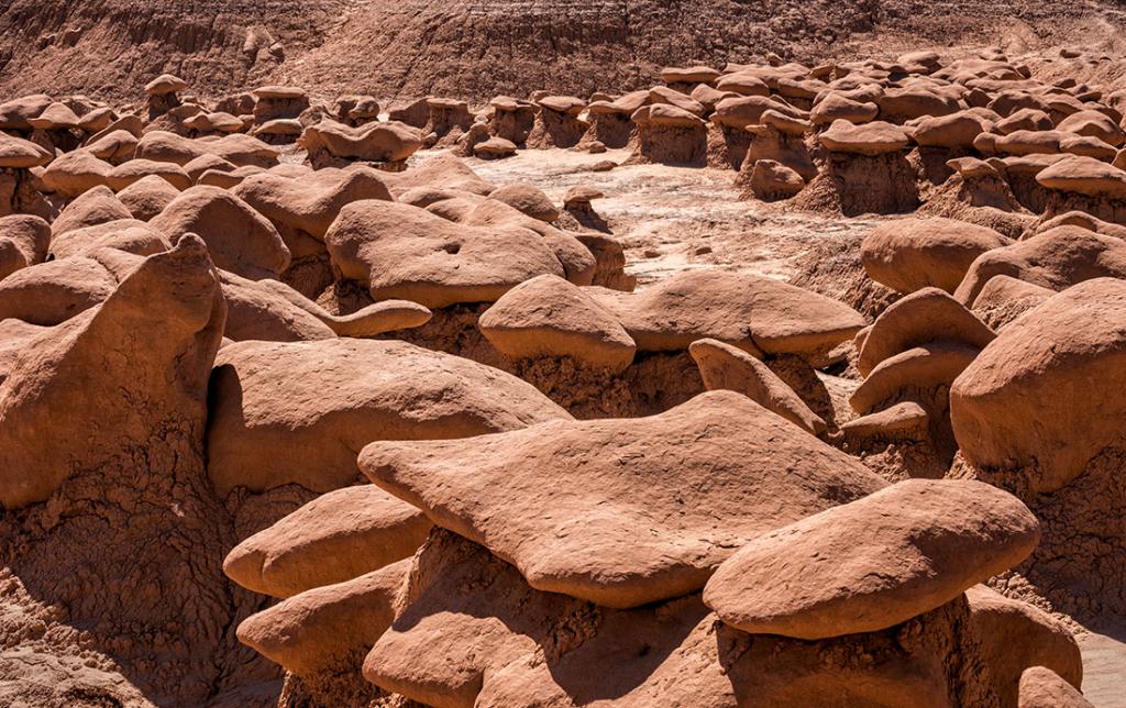
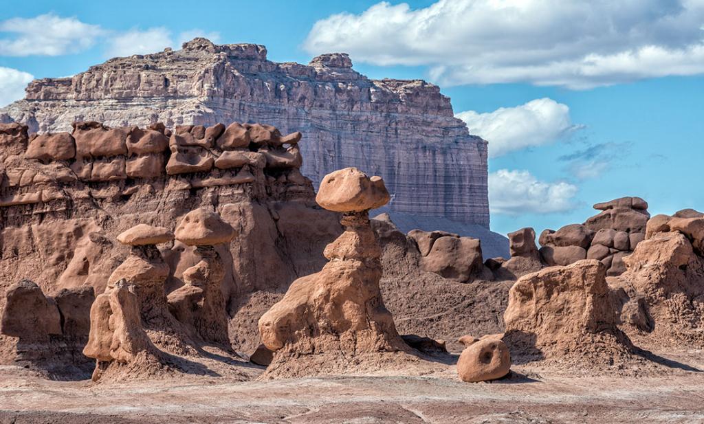
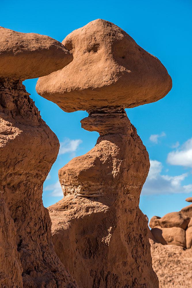
Utah
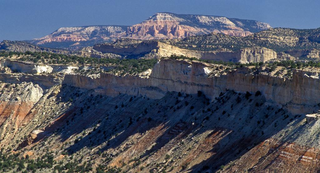
Bryce, Zion & Credar Breaks
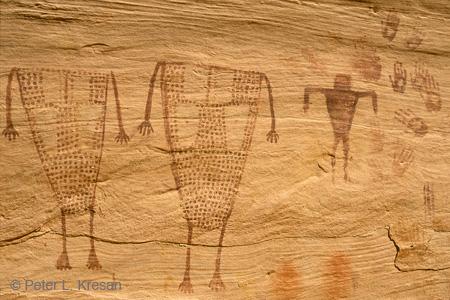
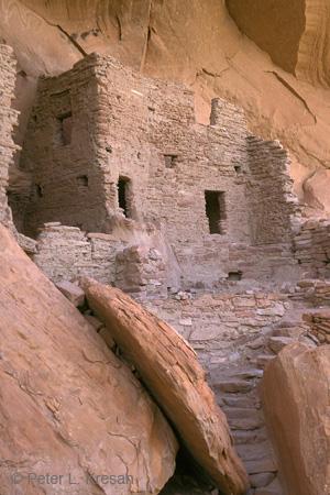
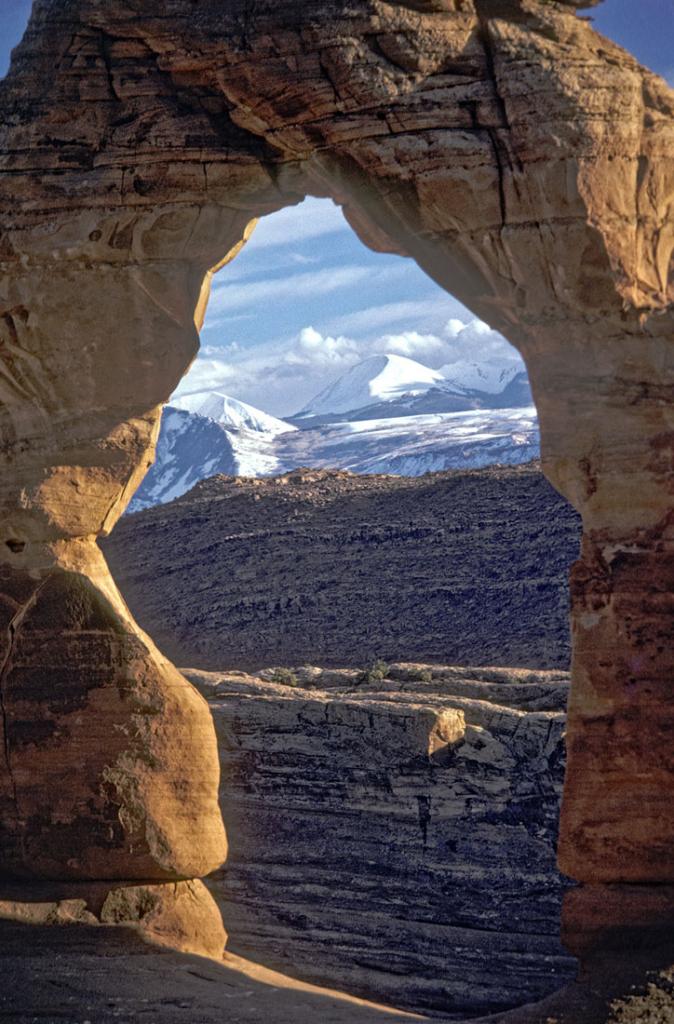
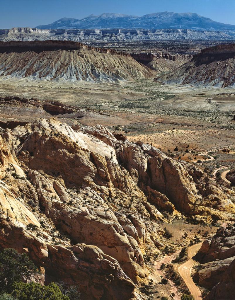
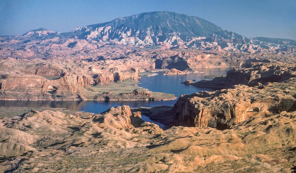
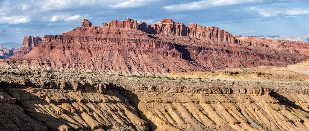
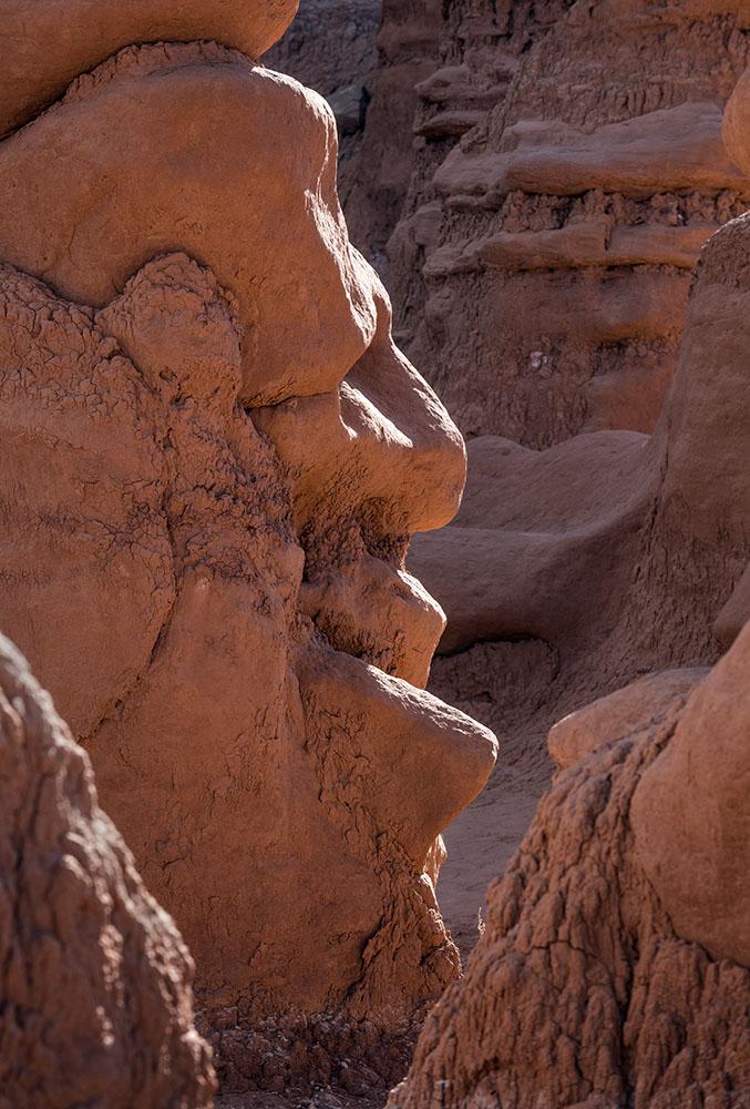
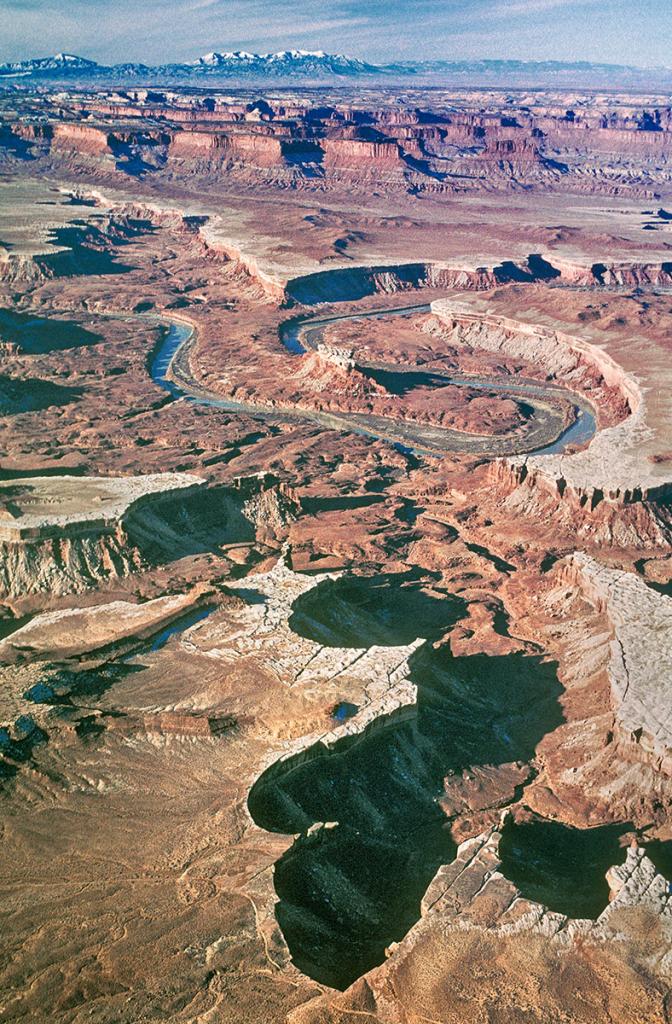
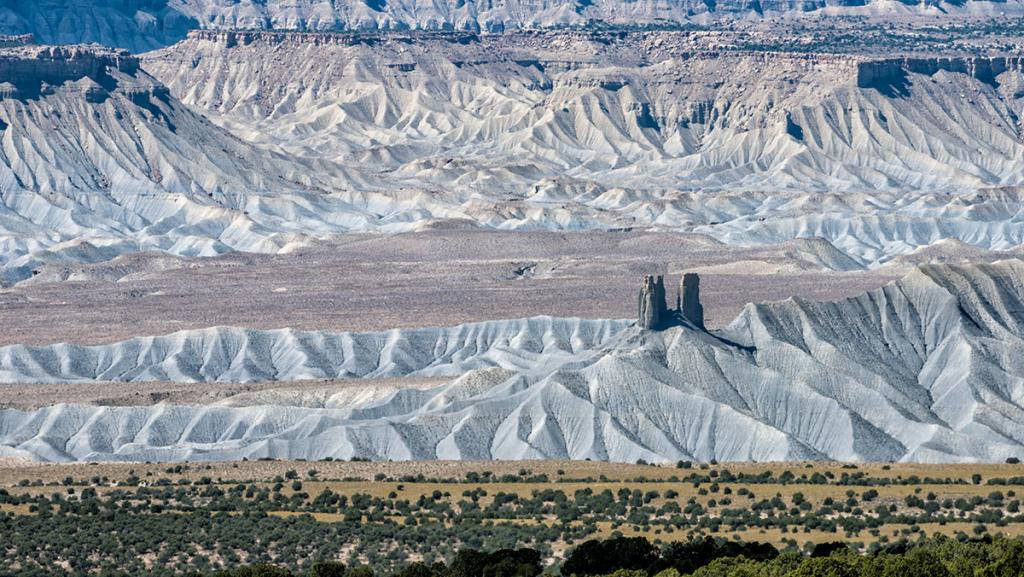
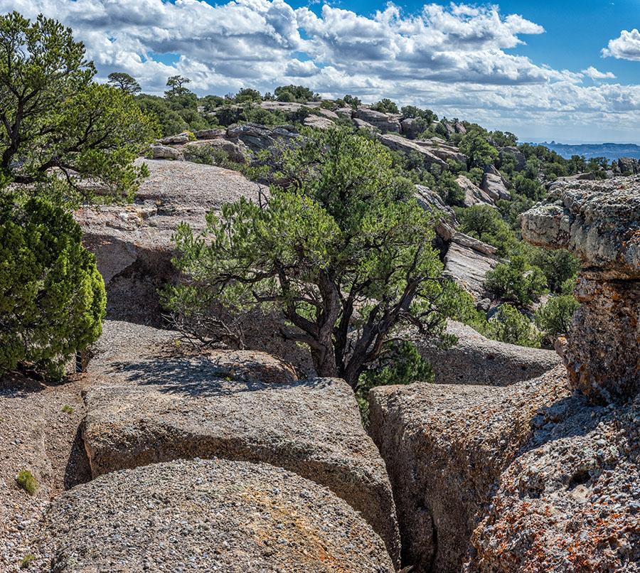
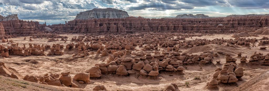
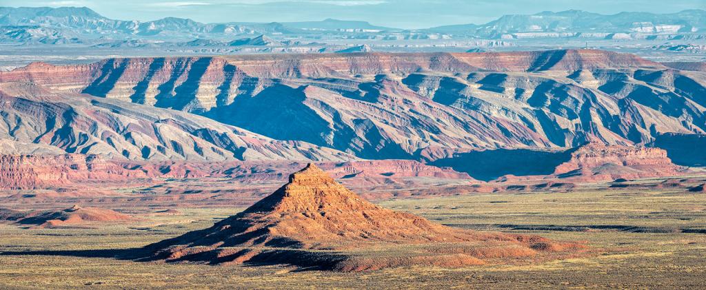
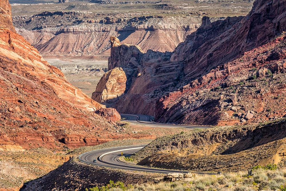
Southern Utah
Special Portfolios
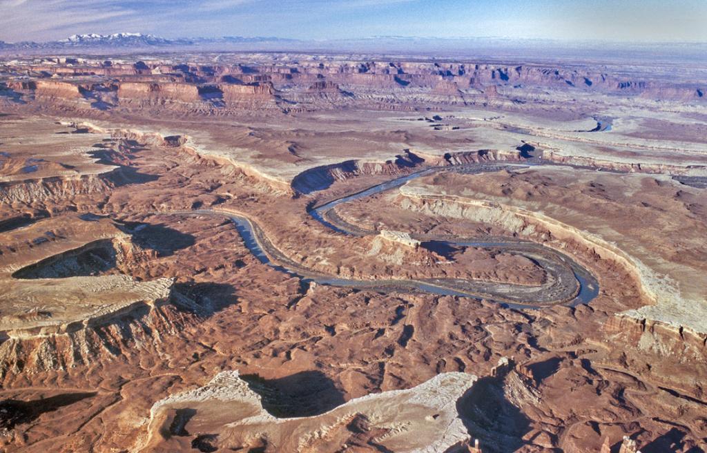
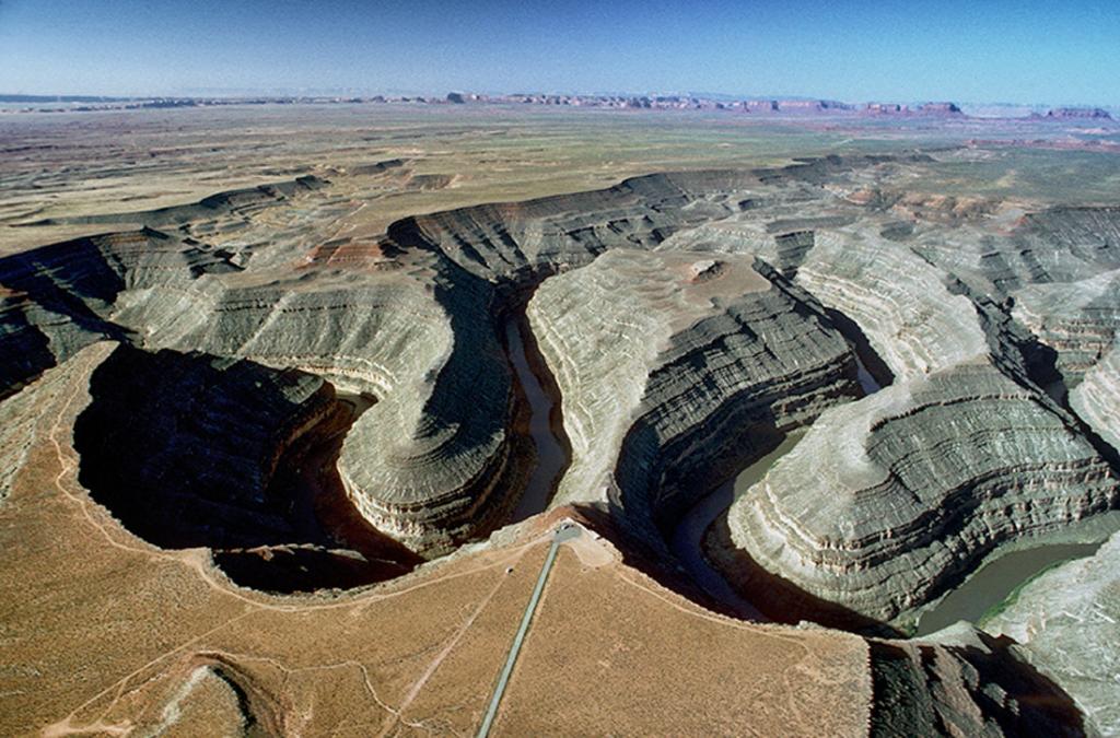
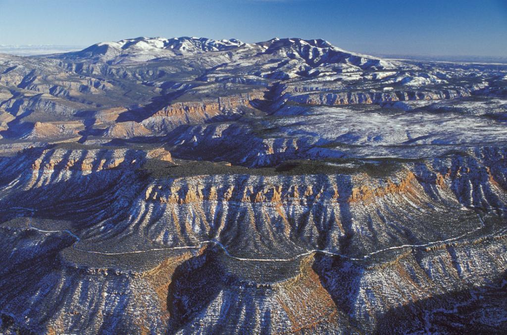
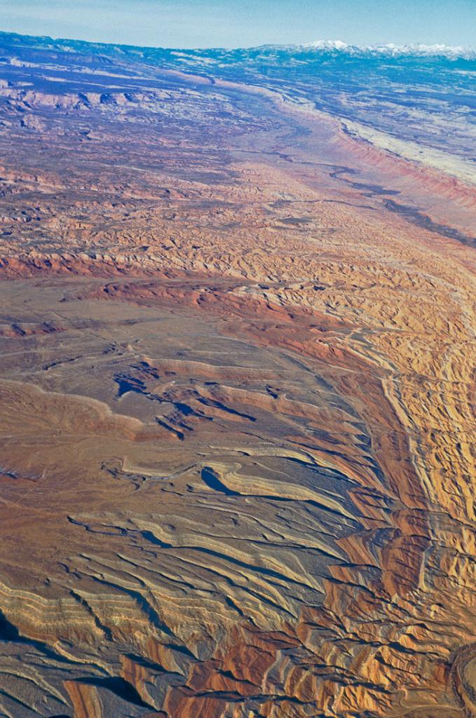
Aerial Photography
Black & White
Joanna Coleman Photography
Panoramas
Tad Nichols Photography
Stock List
Sales
Purchasing Fine Art Prints
Biosketch
Collections
Exhibitions
Tear Sheets
Links
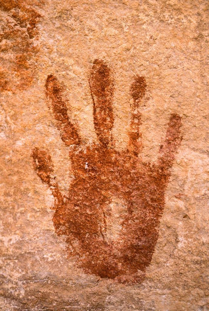
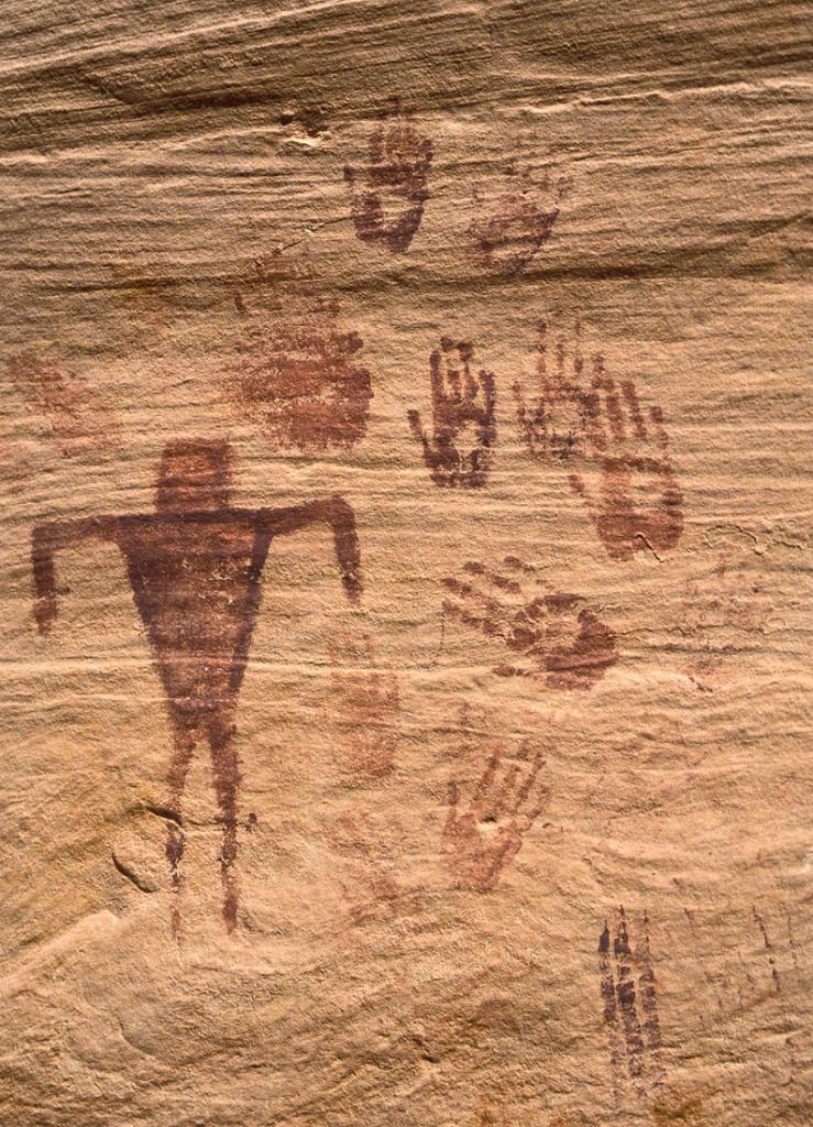
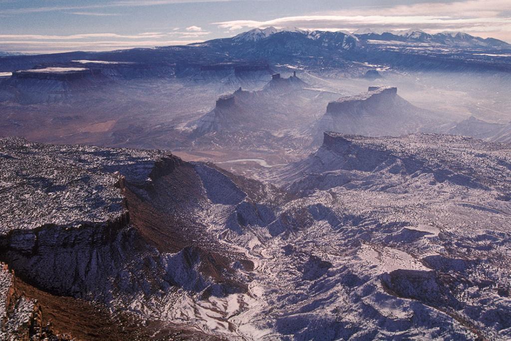
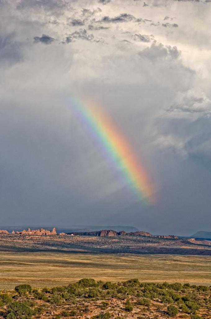
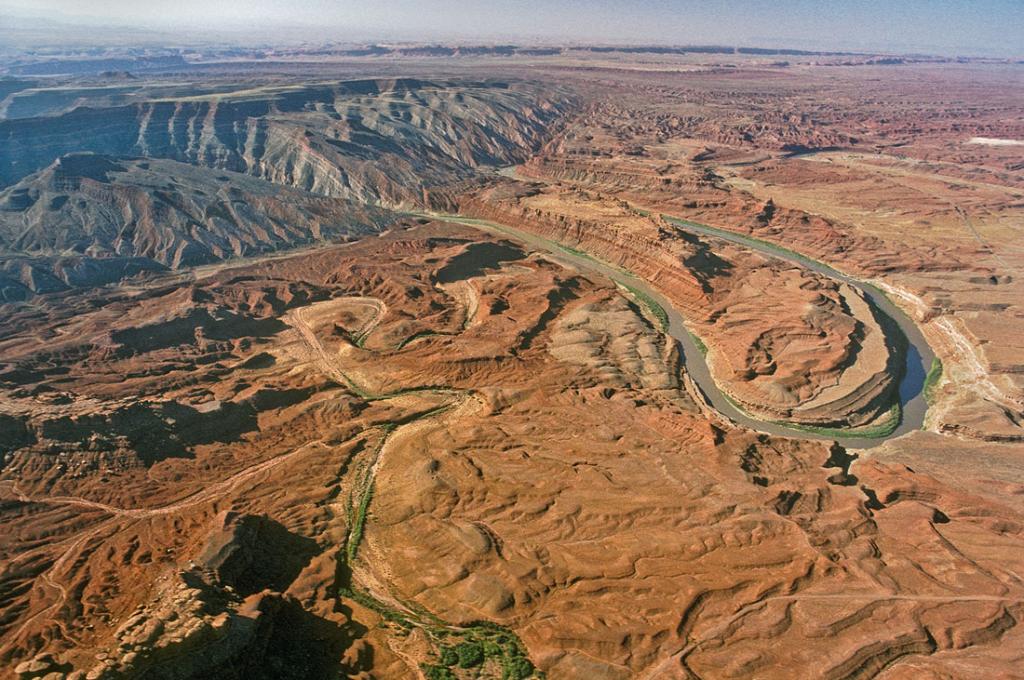
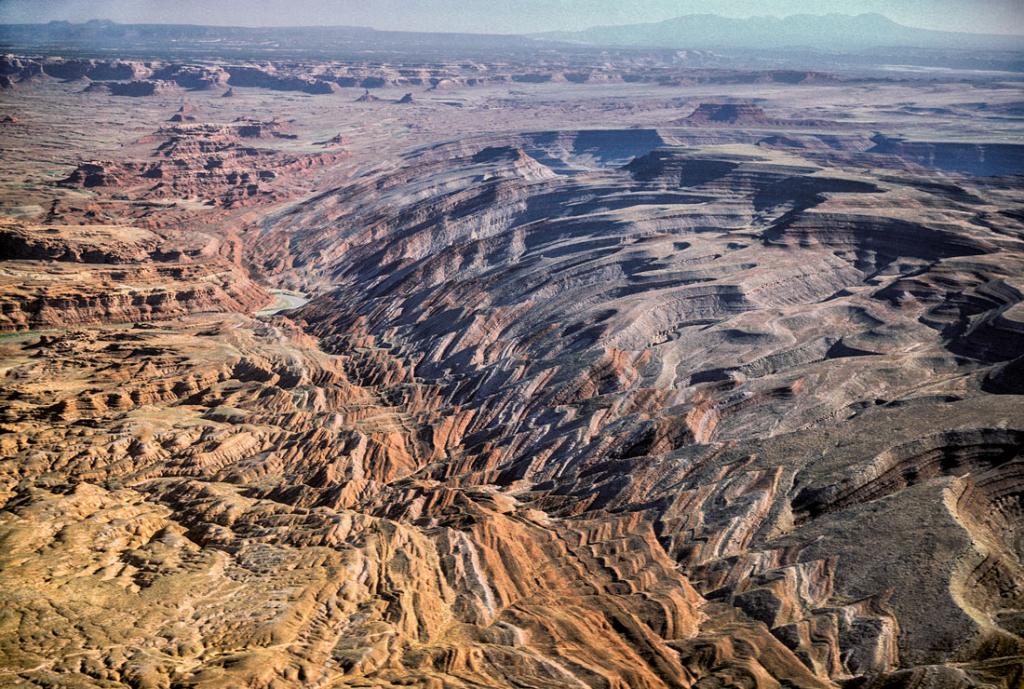
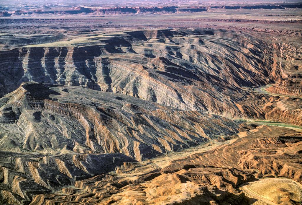
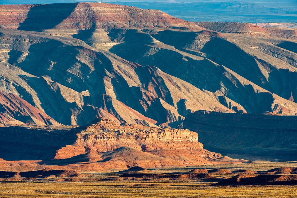
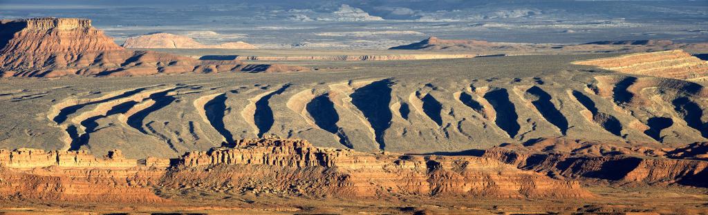
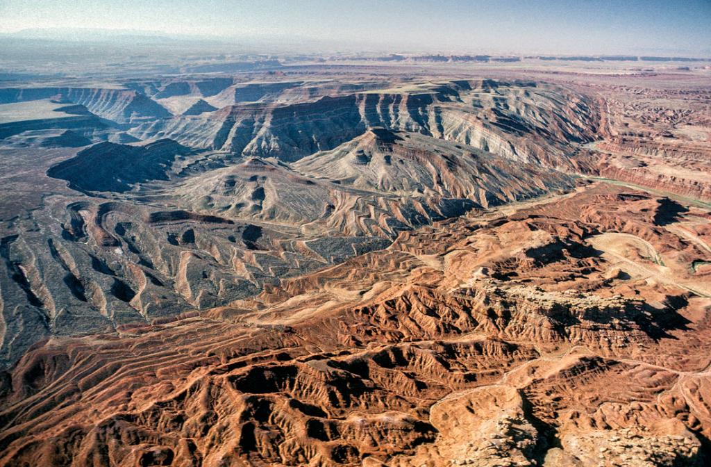
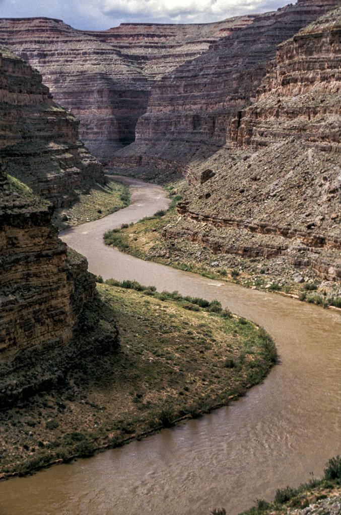
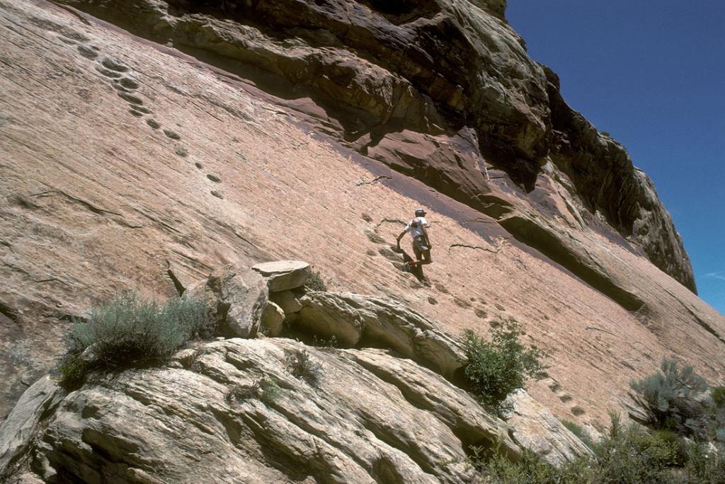
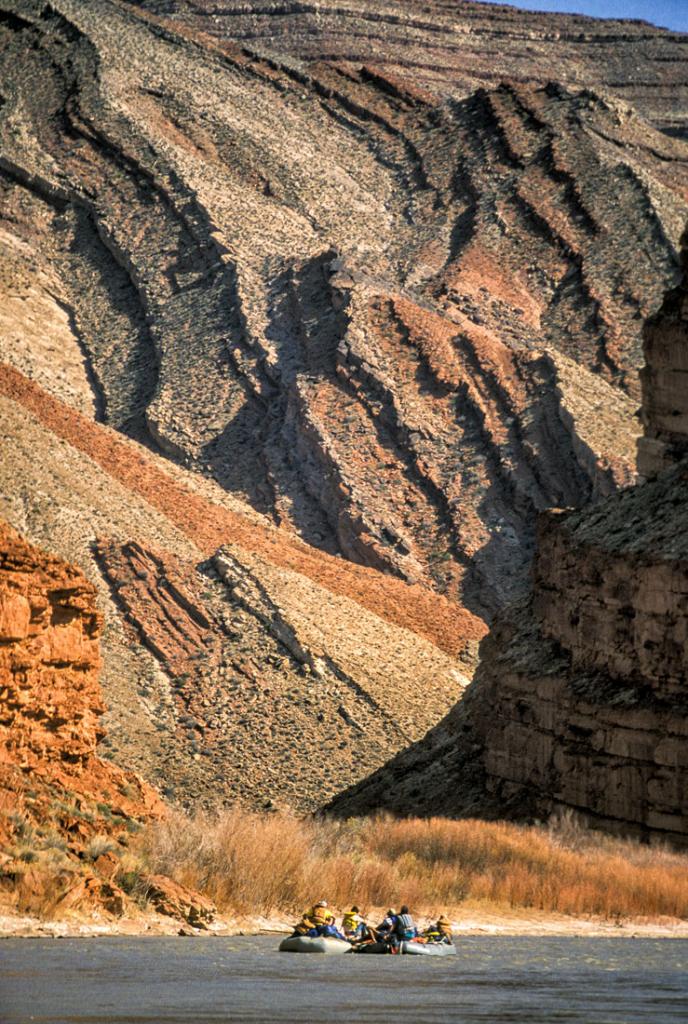
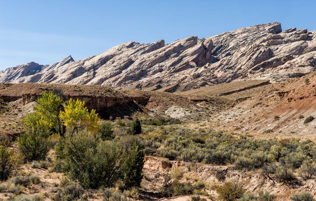
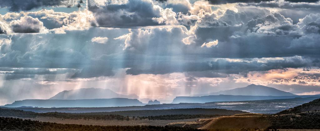
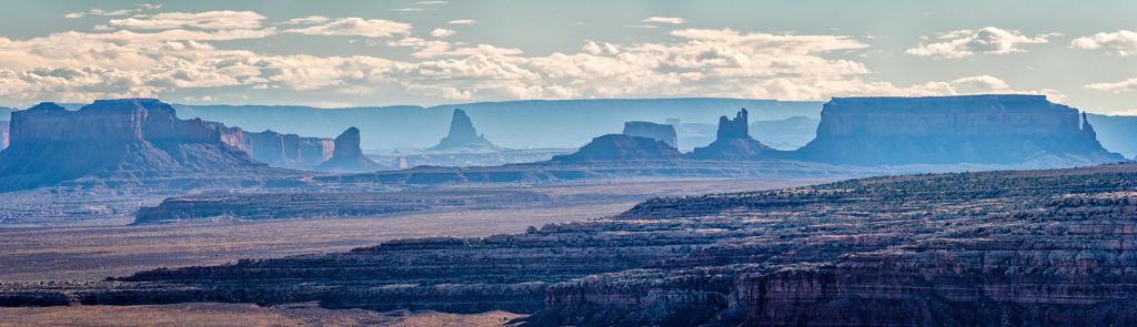
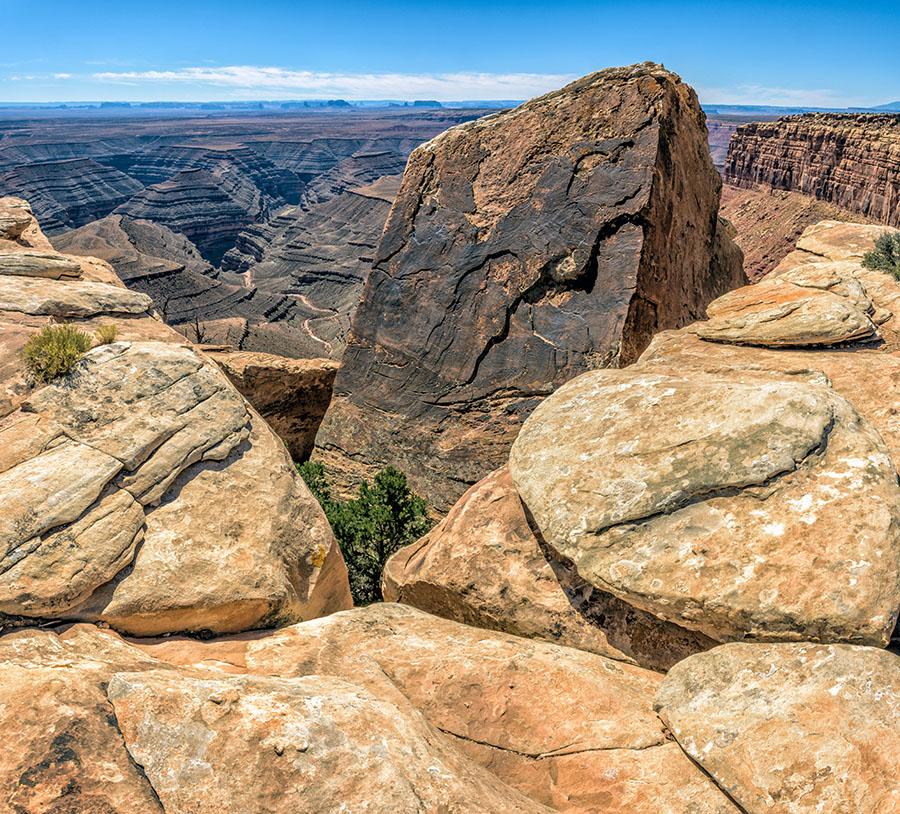
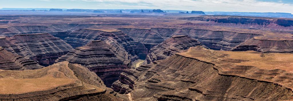
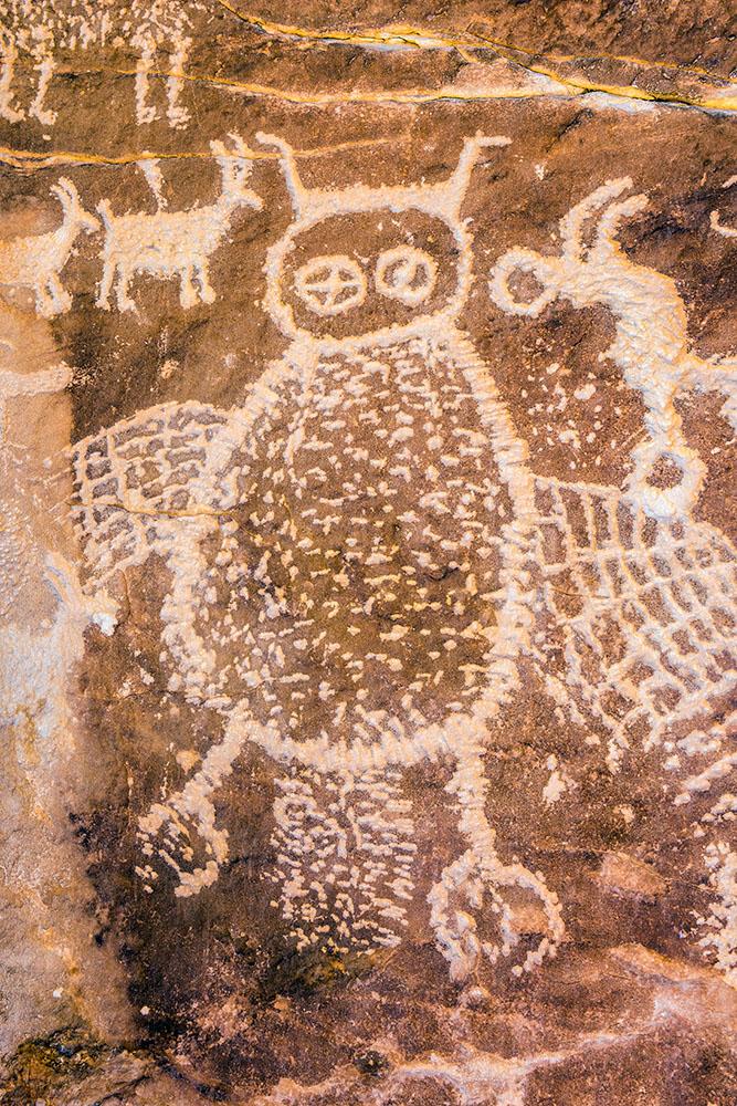
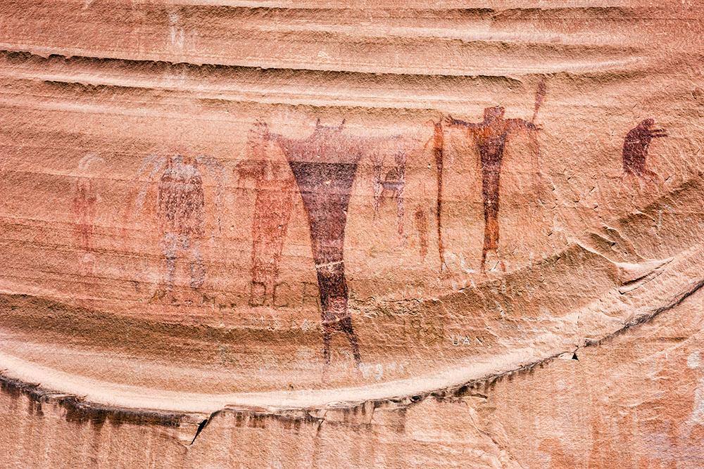
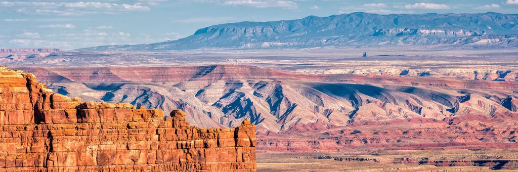
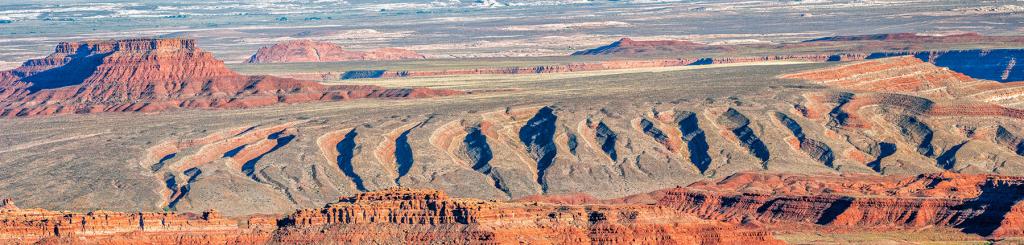
Southern Utah